Chartplotter powered by Boatpilot
Chartplotter applications from BoatPilot have been developing since 2012. In this non-profit project we are constantly developing the platform, while the sailors' community is appending new information. Due to the fact that the sailors' communities are one of the most united, we managed to do the incredible and make a completely free product superior to the quality of commercial analogues.
Download for free
The application is being developed for android and ios platforms and you can download it for free now.


Maps & charts filled with community
Like any other product, BoatPilot provides all basic data, including information about marinas, navigation signs and lighthouses, infrastructure such as services and fueling stations. Special emphasis is placed on media content. From our point of view, photography is an essential element for assessing navigation conditions in the 21st century. The photo will say more about the bay or marina than hundreds of words or text description. Among all regions represented in the world, BoatPilot confidently ranks first in the number of yacht infrastructure photographs.
Another significant component is charts. The charts of all regions that are already presented in BoatPilot are also free. This was made possible thanks to enthusiasts from all around the world, who in 2012 believed that sailors can repeat the success of the OpenStreetMap.
Thousands of hours of painstaking digitization and mapping from various sources allow more than 60,000 seamen to use this information for free, without robbing private companies’ fees selling each region in tens of pieces for maximum profit, with minimal refresh rates. Our charts are updated constantly and in real time with the help of information obtained directly from the sonars of thousands of yachts equipped with BoatGod modules.

Get paid for activity
We consider all the content that our users add to their intellectual property. And we offer to earn money on it.
How does it work? Very simple. By adding any information to BoatPilot, you will receive crypto tokens. In fact, these tokens confirm your rights to this information. Then you are free to dispose of them at your discretion. Hold for the future, pass or give and sell. Our tokens are circulating on several large crypto asset exchanges. Here you can exchange your tokens for cash.
Who is the buyer and why is someone can be interested in buying your digital content rights?
The first party concerned is our company. We are eager to be the owner of all content rights. Therefore, we direct a significant part of our profit to the redemption of content rights. In other words, we constantly buy tokens on exchanges.
The second type of buyer is investors. People who have temporarily free means closely monitor the success of our company. They buy tokens in times of falling demand to sell them more expensive when demand rises (for example, by the end of the fiscal year, when we know how much money will be used to buy back rights).
hus, the digital content rights system exists independently of the BoatPilot, which guarantees users free access to manage their assets.
We would appreciate you helping the community by adding marinas, anchorages or reviews. You can do it right in the sea. But this is also a great activity for long autumn and winter evenings. Remember what places you visited. Share navigation conditions, infrastructure information and experiences with other skippers. Warn of difficulties, recommend solutions. We are sure that only with joint community efforts we can create a worthwhile sea navigator and pilot.
Community driven
We would appreciate you helping the community by adding marinas, anchorages or reviews. You can do it right in the sea. But this is also a great activity for long autumn and winter evenings. Remember what places you visited. Share navigation conditions, infrastructure information and experiences with other skippers. Warn of difficulties, recommend solutions. We are sure that only with joint community efforts we can create a worthwhile sea navigator and pilot.
Maps data patch
We are asserting community geospartical data and patches for boatpilot in ERSI Shapefiles format. Eeach deep describing feature should have decimal deep attribute.
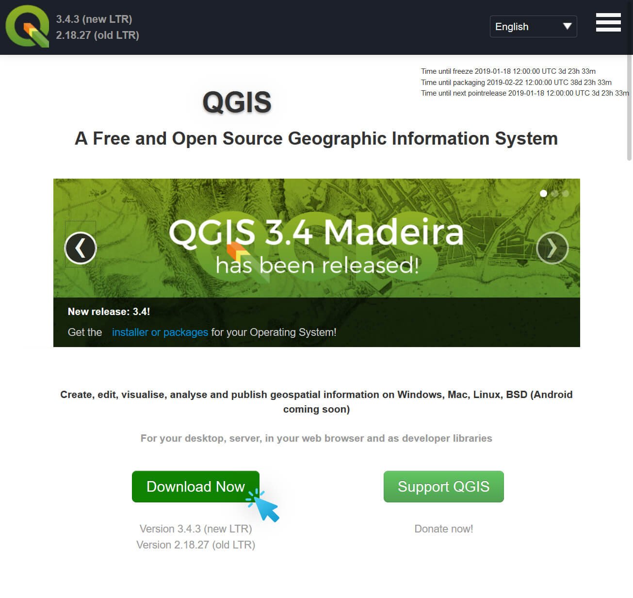
Download QGIS application
QGIS is free and opensource software available for most operation systems. You can download it from its offical site:qgis.org
QGIS is a user friendly Open Source Geographic Information System (GIS) licensed under the GNU General Public License. QGIS is an official project of the Open Source Geospatial Foundation (OSGeo). It runs on Linux, Unix, Mac OSX, Windows and Android.

Download world coastline shapefile
The world coastline shape will be required for presise georeferencing. It distributed freely and can be downloaded from OpenStreetMap Coastlines. WGS84 version is required.
OpenStreetMapData.com provides geodata based on information from OpenStreetMap, processed for easier use for rendering maps and other purposes.


Create QGIS project and add coastline shape layer
Start QGis and add ERSI Shapefile layer with downloaded coastline shape. Then using raster->georeferencing tool add raster layer to project.
You can find more information about georeferencing tool here:Tutorial: Georeferencing Topo Sheets and Scanned Maps/a>,QGIS Tutorial 02 : Georeferencing using QGIS


Create vector layer with your data
Add new shapefile layer for your data. Select Line as type, WGS84 as CRS and add new attribute named deep of decimal type.
Save it under deep-counter name. You can another types for point deeps or deep areas using Point or Polygon as layer type

Draw deeps data (Line)
Switch shapefile layer to edit mode. Add deep lien using Add feature tool point by point over raster layer. When feature created add Id and deep as properties. Ids should be unique for your file. You can use ascending number sequence as ids.

Add more data and send files
Repeat previous for all your shape files and save layer when you are ready. Create zip archive with 4 files: deep-counter.cpg, deep-counter.dbf, deep-counter.shp, deep-counter.shx. Send files to info@boatpilot.me . Our content managers will review and apply your changes to our geospatial database.